|
|
23
Jul
Back in April, it had been pretty widely reported that the iPhone was tracking it’s own movements. A log was kept of the GPS coordinate of every cell tower that the phone had ever connected to, for some reason.
Apple fixed this “bug” in a new update of iOS that’s been around awhile, but I haven’t bothered to update until now. I’ve been on the road since April, and I haven’t wanted to use precious bandwidth downloading a 600MB+ iPhone update.
Also being that I’ve been traveling a lot, I figured that my tracking log would actually be pretty interesting. I ran the iPhoneTracker application, and came up with this map that shows my travels since I bought my iPhone 4 a little over a year ago:
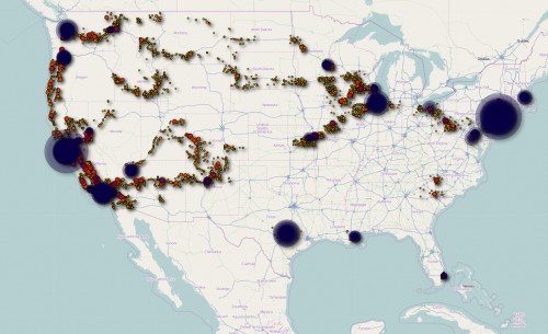
It’s creepily accurate… most of my time was spent in LA, San Francisco, or New York, with frequent stops in Portland, Seattle, Austin, and Chicago. It also shows the routes of several long-distance Amtrak routes (Coast Starlight, Cascades, Southwest Chief, Acela/Northwest Corridor, Ethan Allen Express, and Capitol Limited for those curious), and a half-dozen or so various road trips.
Pretty cool.
20
Jul
Alma Desnuda left me in Reno yesterday morning and continued back to the San Francisco bay area. Here, I met up with Josh, the developer of Magic Window, who had come up this way from San Francisco after raiding my storage closet for me and grabbing my camping gear. From Reno, we set off to Pyramid Lake, about an hour North of town.
Josh had always imagined shooting a Magic Window timelapse scene of the same view as the default iPad wallpaper by Richard Misrach.

Armed with a GPS coordinate and Google Maps’ satellite view, we found the spot, set up camp, and waited until sunrise.
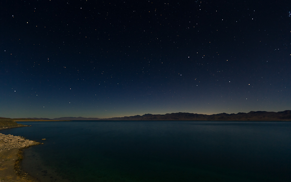
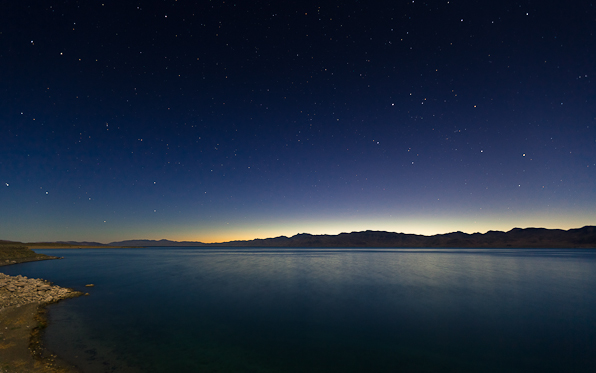
The result was epic.
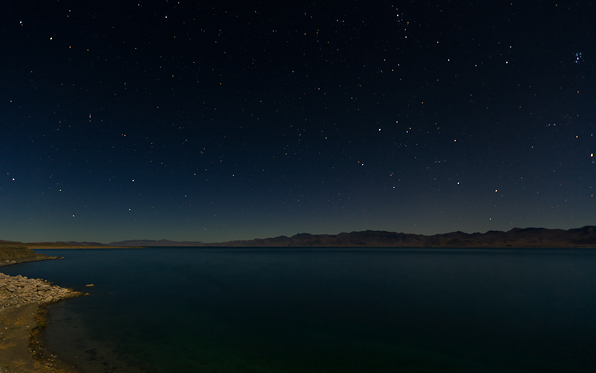
I decided to go with a much wider angle and different framing than the original shot… besides the fact that I don’t like the idea of blatantly ripping off another artists’ work, the wider angle I feel shows the whole Northern end of the lake, which is a gorgeous scene in it’s own right. Still, if you compare the ridge lines, it’s the exact same mountain range, which I think is a very cool reinterpretation.
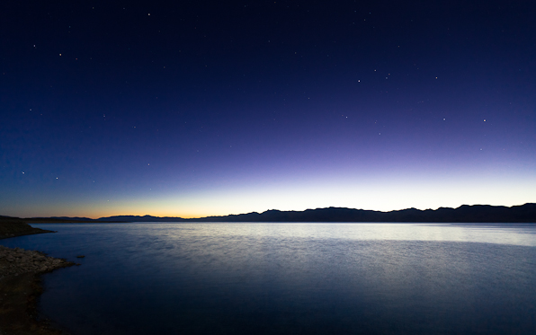
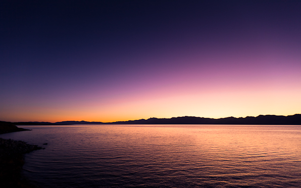
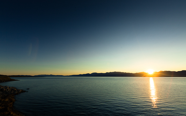
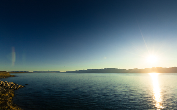
I’ll put a video together in the next few days and post it, but I’m super-backlogged with projects at the moment and I’m trying to bang out as much work from a casino bar in Reno while I have such modern amenities as electricity and quasi-reliable cell phone service, which have been sorely lacking over the last month.
17
Jul
After an 18-hour drive from Hamilton, Montana, the band made a quick tour stop on Ontario, Oregon to play a show before hopping straight back on the bus for a 12-hour drive to Reno, Nevada.
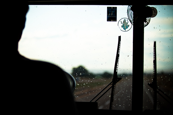
After realizing that the bus wouldn’t make it over the mountain pass into Idaho, we chose a flatter, yet more circuitous route that added 150 miles and several more hours to the leg. I was asleep at the time, but apparently at one point we hit a deer. Drove through it would be more accurate… the only damage was to the “Crown Bus” logo on the grille.
Later in the afternoon as we made our way into Boise, the sky put on an amazing performance between short, localized rain showers.
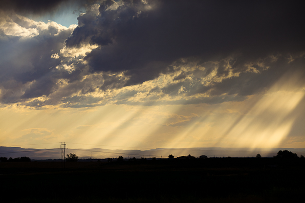
We pulled in just in time to unload equipment into the venue.
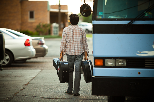
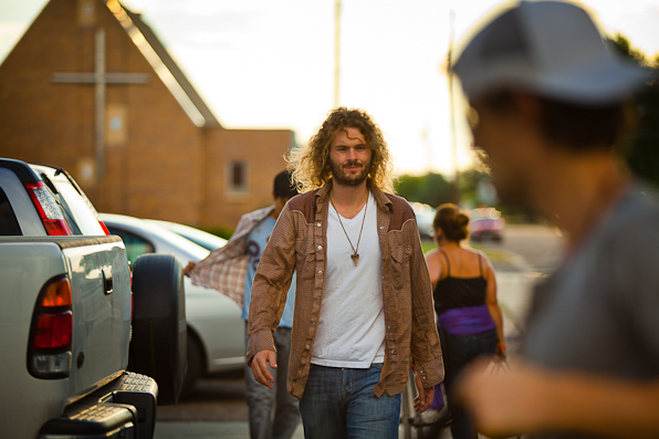
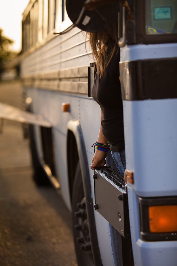
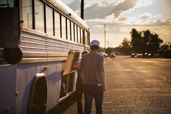
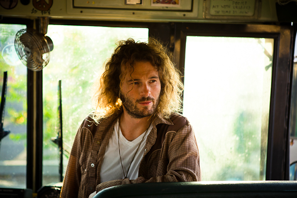
Before the show started and as the sky cleared, I spent a few minutes snapping a few photos around Ontario. After the jump…
(more…)
16
Jul
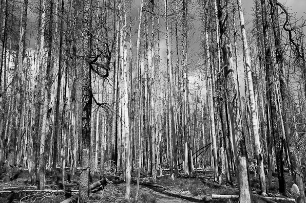
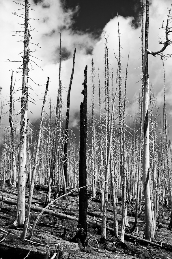
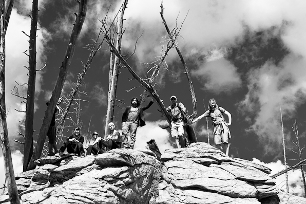
Yesterday morning, our amazing host (and incredible beer brewer) in Hamilton, Jason, took the band, the crew and I on a 4-hour nature hike into the Bitterroot Mountains of Montana.
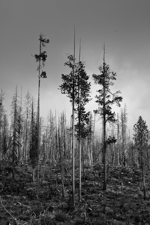
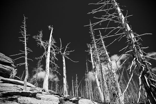
Much of the wilderness on our hike was still recovering from a recent wildfire, but the scenery was still beautiful. We capped off the climb with a quiet meditation on a rocky peak and headed back down.
(more…)
13
Jul
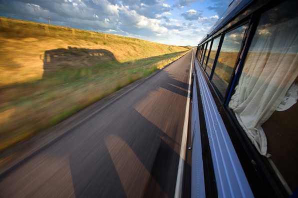
We’ve been on the road for three days now. We’re currently somewhere in Western Montana, after crossing all of Wisconsin, South Carolina, and most of Montana, we’ll be spending a few days in Hamilton, Montana.
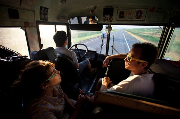
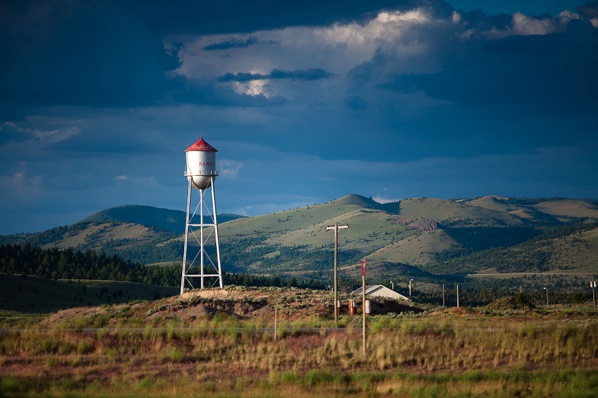
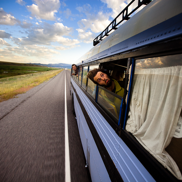
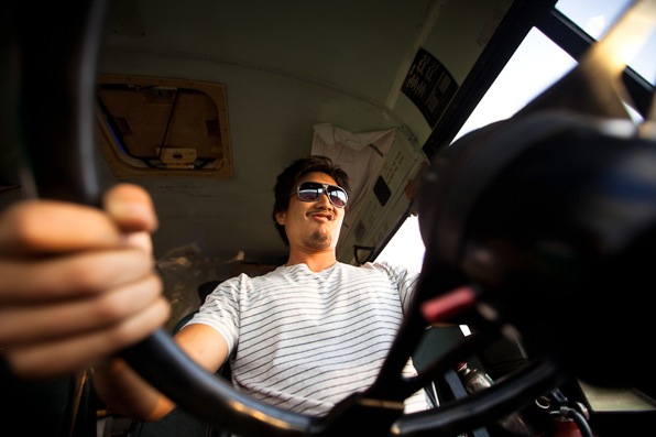
More after the jump…
(more…)
12
Jul
Took some portraits of the band yesterday morning and this morning.
The first few were taken in a cornfield in Western Wisconsin:
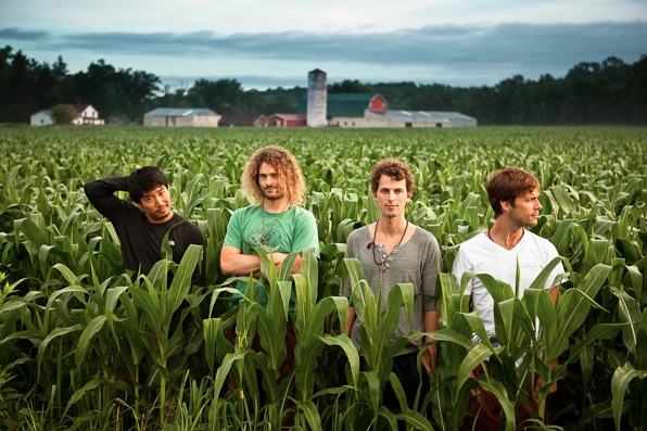 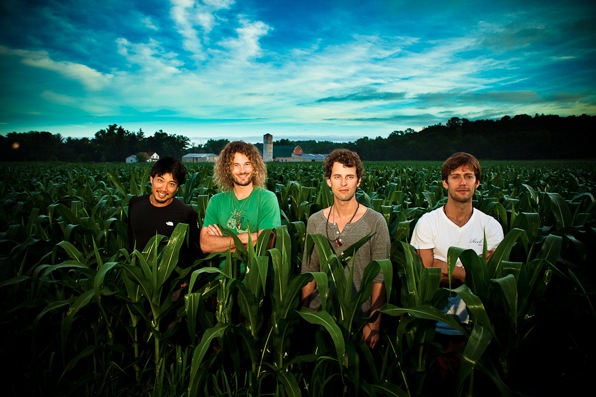
Photos I took in the South Dakota Badlands after the jump.
(more…)
11
Jul
DUMBO is a neighborhood in Brooklyn, it’s an acronym for “Down Under Manhattan Bridge Overpass”.
I shot this timelapse there:
11
Jul
The band and I got to stay in an absolutely incredible mansion the other night in Prescott, Wisconsin. This photo was taken about an hour and a half before sunrise, as I was setting up a time lapse. It’s a five-minute exposure, with the clouds illuminated by a combination of light pollution, and the slightest amount of ambient pre-dawn daylight.
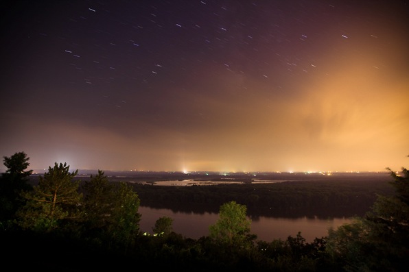
Only about 45 minutes after this picture was taken, one of the most ferocious thunderstorms I’ve ever seen rolled in seemingly from nowhere. I brought my camera back in, in the nick of time, set it back up in the window, and watched the rain and wind pound the house.
I’ll have that timelapse up in the next few days.
8
Jul
Somewhere in Iowa on the drive between Cedar Rapids and Minneapolis, we stopped at an unfortunately named gas station to feed Patricia some biodiesel.
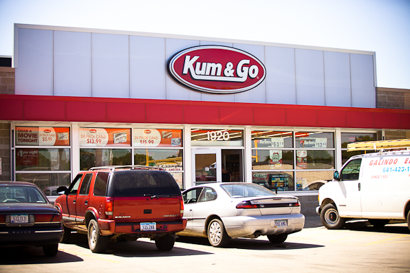
While we were fueling, Alma Desnuda quickly grabbed their acoustic instruments and started playing an informal concert/busk in front of the convenience store.
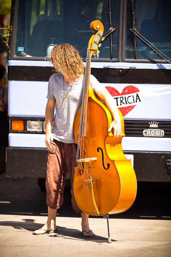
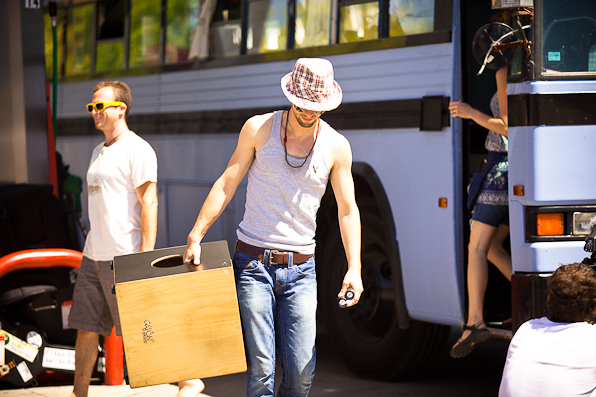
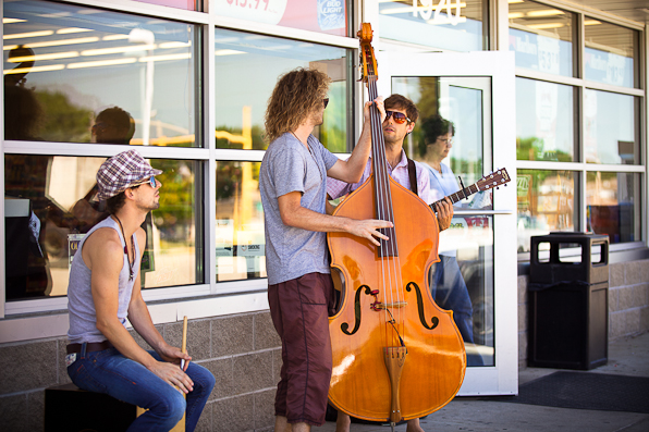
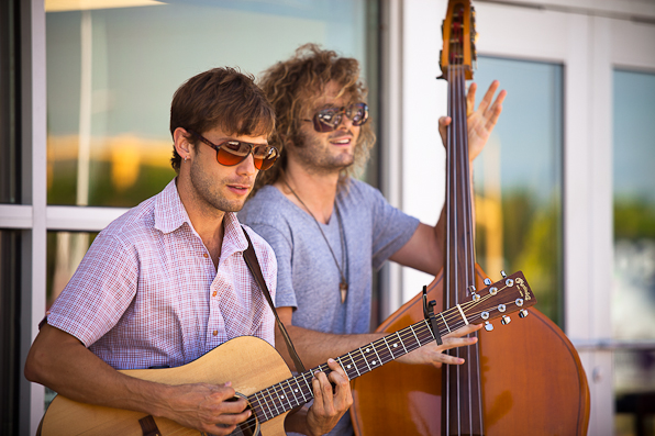
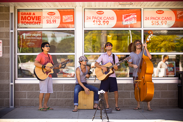
More photos after the jump.
(more…)
|


